|
Ogun State was carved out of the defunct Western State on February 3, 1976 by the then Federal Military Government of late General Murtala Ramat Muhammed. Ogun State presents as Nigeria's "Gateway State". There is no written literature on why the founding fathers chose the model of "Gateway State" for Ogun. But the physical geography was probably the most obvious justification. Flanking Lagos to the south, Ogun State provides the passage for all human and non-human traffic to and from Lagos, Nigerias premier entrypot and, until recently, the nations capital. Located on the routes (road, rail, air and water) linking Lagos to all other parts of the country (north and east), Ogun States remarkably strategic gateway position could not have escaped the attention of its founding fathers.
State Capital
Abeokuta
Location
Ogun State lies within the tropics and bounded in the West by the Benin Republic, in the South by Lagos State and the Atlantic Ocean, in the East by Ondo State and in the North by Oyo State.
Area
16,409.26 sq kilometres
Local Government Areas
The are 20 Local Governments.The headquarters are:
- Akomoje-Abeokuta
Abeokuta North Local Government
- Ake-Abeokuta
Abeokuta South Local Government
- Ota
Ado-Odo/Ota Local Government
- Ayetoro
Yewa North Local Government
- Ilaro
Yewa South Local Government
- Itori
Ewekoro Local Government
- Ifo
Ifo Local Government
- Ogbere
Ijebu East Local Government
- Ijebu-igbo
Ijebu North Local Government
- Atan
Ijebu North East Local Government
- Ijebu-ode
Ijebu Ode Local Government
- Ikenne
Ikenne Local Government
- Imeko
Imeko-Afon Local Government
- Ipokia
Ipokia Local Government
- Owode
Obafemi-Owode Local Government
- Abigi
Ogun Waterside Local Government
- Odeda
Odeda Local Government
- Odogbolu
Odogbolu Local Government
- Isara
Remo North Local Government
- Sagamu
Sagamu Local Government
Population
2,759,109 (1997 FOS est.)
People
Ogun State is made up of six ethnic groups viz, the Egba, the Ijebu, the Remo, the Yewa, the Awori and the Egun. The major language in Ogun State is Yoruba
Climate
This follows tropical pattern, with the rainy season starting about march and ending in November, followed by dry season.
Natural Resources
Extensive fertile soil suitable for agriculture, savannah land in the North westhern part suitable for cattle-rearing vast forest reserves, river, a lagoon, rocks, mineral deposits and an ocean front.
Mineral Resources
Extensive limestone deposits, chalk, phospahate, high quality stone, gravels, gypsum and tar abound in the state.
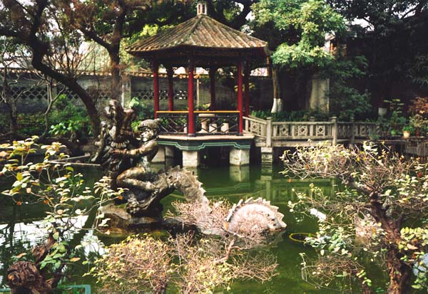
Tourism
By ethnic grouping:
|